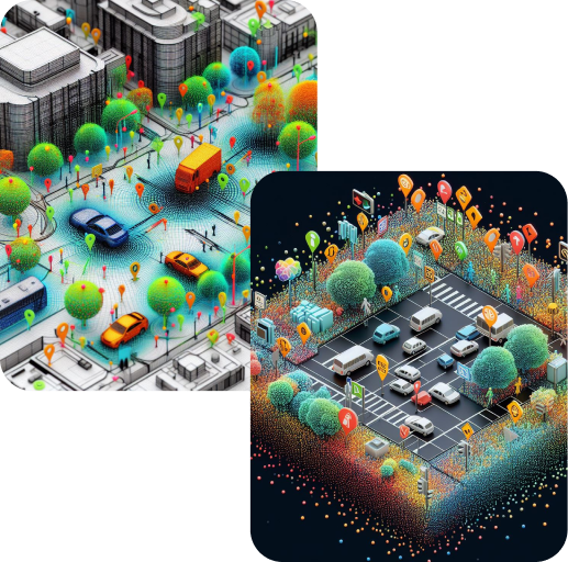
In our 3D LiDAR Point Cloud Annotation, we offer various advanced features to enhance object analysis and detection. Here are the key features that make our annotation services stand out:
By using point cloud semantic segmentation, we can analyze objects in more detail, which helps in learning. This is especially valuable for self-driving cars, as it allows them to distinguish between different types of lanes with great precision, making their navigation safer and more accurate.
At Polosoft Technologies, we employ
We can identify road lanes and track objects within frames, which enables us to label moving objects across multiple frames. We use interactive annotation techniques, including semi-automated processes, to label 3D objects quickly with just one click.
Annotators can draw and track cuboids on objects in sequences of point cloud data, enhancing visualization and precise object tracking with 2D mapping.
We allow for the review of pre-labeled 3D annotations, accelerating data annotation and obtaining precise metrics on model performance.
Our tool permits different levels for each object in each frame, enhancing object detection. Additionally, it supports customizable attributes, including occlusion and truncation.
Our user-friendly design enables annotators to navigate scenes efficiently, understand context, and label data effectively. Interactive multi-angle views and sensor fusion provide flexibility in choosing the best view for each object.
To increase high levels of productivity, Polosoft Technologies provides Point Cloud Classification services for various industries.
Q: Why is LiDAR 3D Point Cloud Annotation Important?
A: It's crucial for training AI and machine learning models. Accurate annotations help these systems understand and interpret LiDAR data, making them more reliable in real-world scenarios.
Q: What Industries Benefit from LiDAR 3D Point Cloud Annotation?
A: Various industries, including autonomous vehicles, urban planning, forestry, and construction, benefit from the technology of LiDAR. It's also valuable in environmental monitoring and infrastructure management.
Q: How Does LiDAR 3D Point Cloud Annotation Improve Autonomous Vehicles?
A: Annotated LiDAR data helps autonomous vehicles recognize and navigate the road, detect obstacles, and make safe decisions, enhancing their overall performance and safety.
Q: What Are the Benefits of LiDAR 3D Point Cloud Annotation for Urban Planning?
A: LiDAR annotations support accurate modeling of urban environments, helping in infrastructure design, traffic management, and disaster preparedness for smarter city planning.
Q: How Do You Ensure Annotation Accuracy?
A: We have a team of experienced annotators and use advanced annotation tools to ensure high accuracy. Additionally, we provide validation processes to enhance data quality.