-
AI Automation services
Cybersecurity
Cloud services
MVP Development
Full-stack Development
Custom Applications
-
Engineering Services
-
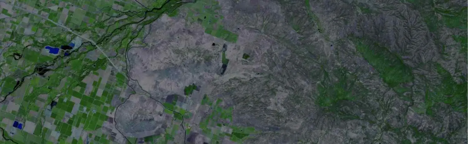
Digital systems are now used to create dynamic interactive maps that can be edited digitally, replacing the conventional analog ways of cartography. Cartography Mapping is one of the most effective ways of representing a map or to communicate spatial information.
The last ten years have seen a significant transformation in cartography services due to the development of "information technology". The cartographic process is associated with data manipulation, data acquisition, image processing, and visual display in addition to just making maps.
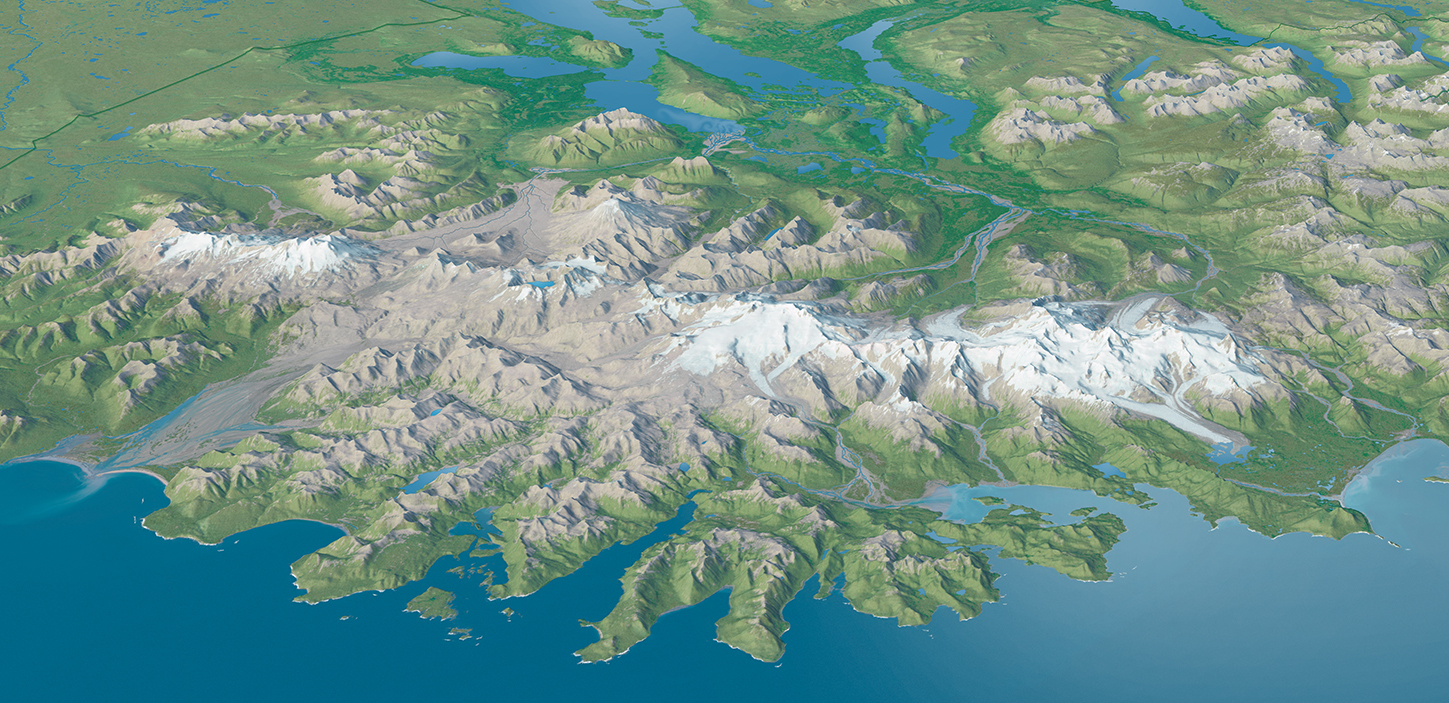
Cartographic mapping representations may now be seen digitally on a computer screen in the modern era. With the use of computer-assisted mapping tools, we have given classic cartographic methodologies— which nonetheless require the addition of new skills—a fresh and fascinating dimension.
The fundamental functions of cartography have altered as a result of technological advancements, giving cartographers new tools for communicating and visualizing spatial data.
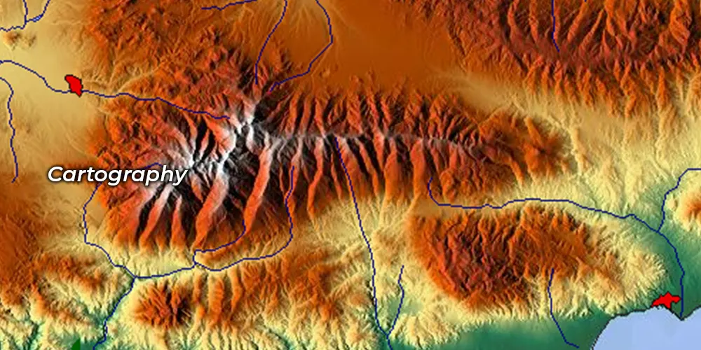
Our cartography service offers knowledgeable mapping and visualization options made to fit your specific requirements and objectives.

We use thorough research, precise analysis, and detailed map data compilation to create accurate, informative maps for diverse applications.

Map product layout and development ensure maps are visually coherent and functional design, and data integration for various user needs.

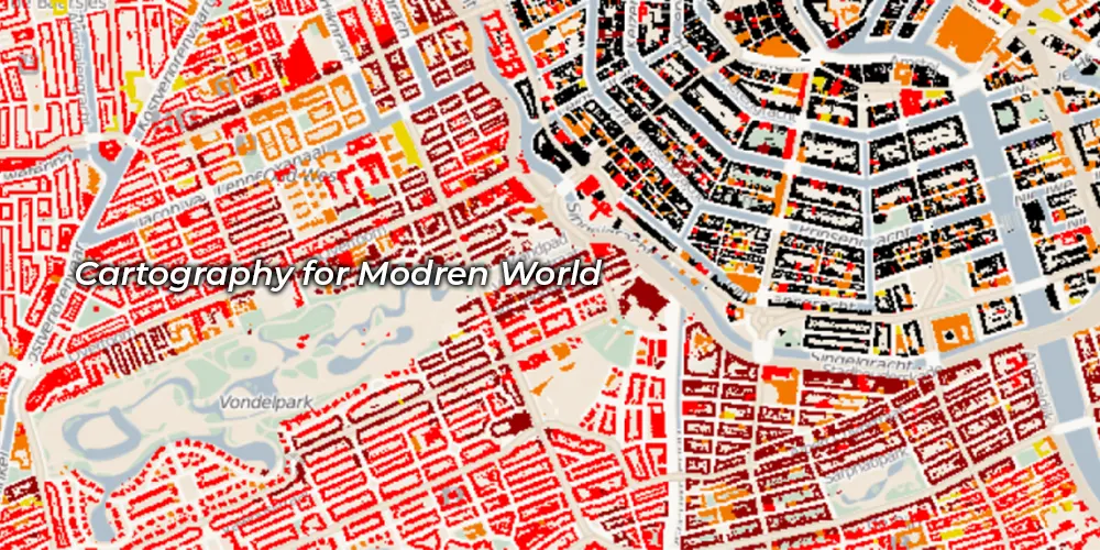
We enhance cartography maps by providing dynamic visualizations and user engagement, offering deeper insights into geographical data.

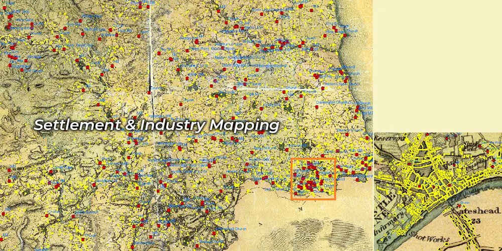
We provide critical, real-time geographic information, resource allocation, and decision-making during crises to ensure public safety.

We ensure accurate geographic representations in publications, verifying data sources and ensuring information integrity, and credibility.

We design the geographical data into visually appealing and informative maps and ensure clarity, accuracy, and usability for diverse applications.

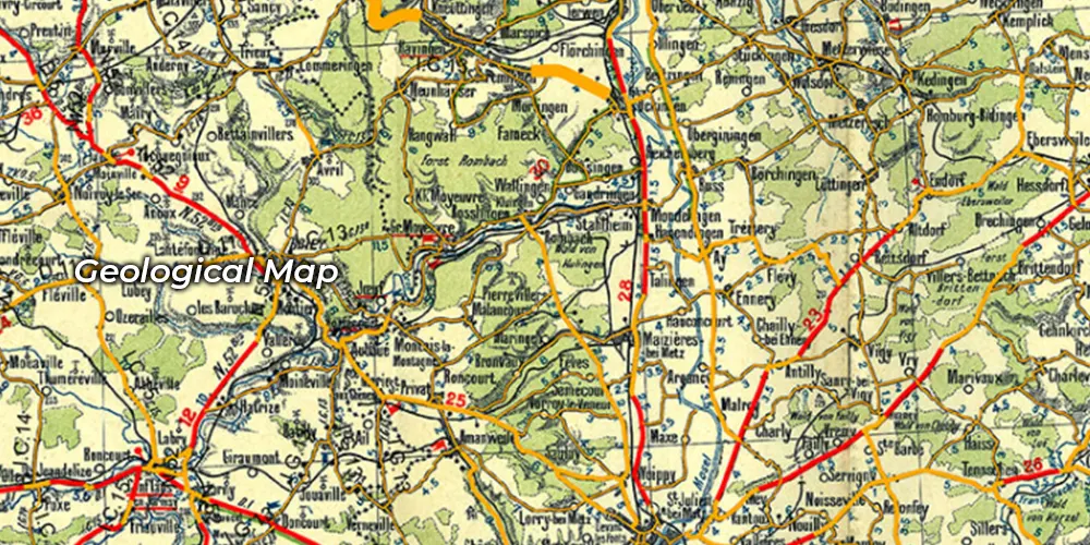
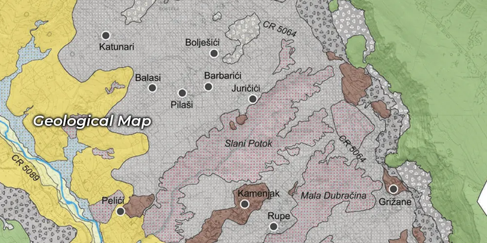
Cartography integrates artistic skill and scientific precision to create maps, charts, and graphs for geographic visualization and spatial analysis.

It involves meticulously mapping underground chambers, caves, and other subterranean spaces in environmental conservation efforts.

It involves creating software tailored to land surveying needs for data collection, analysis to data processing for diverse applications.

Cartography illustration and art merge creativity with precision, transforming geographical data into visually captivating representation.

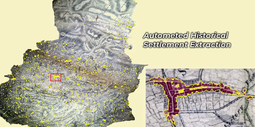
From historical photographs to satellite imagery, this process enriches maps with visual context and enhances its accuracy and informational value.

Print-on-demand plotting revolutionizes cartography by offering immediate access to high-quality printed maps tailored to specific needs.
To increase high levels of productivity, Polosoft Technologies provides Point Cloud Classification services for various industries.


What is cartography?
It is the method of studying maps, creating and designing the same. The confluence between practice, science, and art, it lays the principles and practical standards behind maps and map making.
What is GIS and Cartography?
GIS allows digital representation of objects on a map connecting to a database that describes the objects. This linked data to objects on the very map which revolutionized cartography.
How is GIS Involved in Cartography?
Maps serve geographic information systems as a source of input data, a framework for spatial analysis and modeling, and an output medium. GIS transforms cartography by changing data mapped and usage of maps.
Why do Cartographers need GIS?
Maps using GIS technology link spatial graphic features with non-graphic information. GIS helps the cartographer to work from existing maps, surveys, and other records. Determining thematic and positional accuracy of each feature being mapped.
What is the importance of GIS Cartography services?
GIS cartography services provide maps with improved collaboration, quite less redundancy, greater efficiency in pin-pointing data on the map.
Why do companies need cartography services?
Cartography services help create maps for remote places providing a perfect way for sharing data, collaborating phases, embracing publishing and knowledge sharing aspects of information exchange.
At Polosoft Technologies, we collaborate with you to realize your vision. We work on a process that ensures the project is cost-effective while developing your ideas with the best of our Cartography services.
We include the copyright and all of the native files of the project for you so that you can use your maps in different ways and projects presentation? Cartography is useful because it encourages spatial visualization of GIS data and can display population spatial trends, economic growth, urban planning, as well as more with our GIS mapping services.


Whether you need to streamline a process or develop apps fast, we're here to help.
Contact Us

 AI &
Automation
AI &
Automation
 QA & Software Testing
 Cybersecurity
 Cloud Services
 MVP Development
 Custom
Applications
Custom
Applications 


 Engineering Services

 Digital Branding
 Industries


 Home
Home