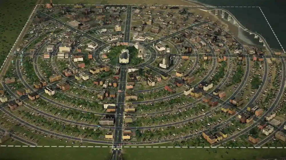
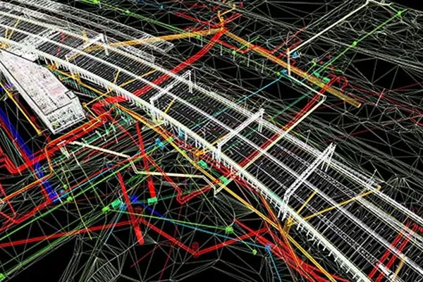
Infrastructure development refers to the creation and improvement of physical structures like roads, bridges, buildings, and power grids, which are essential for a society's economic growth and overall well-being.
By using GIS data, we provide city officials and utility managers with the necessary information to design and maintain essential services, such as water supply, sewage systems, and electrical grids. It helps ensure continuous services, even in times of increased demand or emergencies.
By offering detailed 3D imagery through LiDAR data, we enable utilities to detect wear and tear, structural weaknesses, and potential hazards well in advance. This empowers utilities to proactively address issues, leading to substantial cost savings and minimal service disruptions.
Our GIS data services provide a comprehensive view of land use and zoning. This data is vital in urban development planning, enabling city officials to make well-informed decisions regarding resource allocation for new infrastructure, housing, and commercial developments.
Our LiDAR data enhances urban development planning by delivering highly detailed topographic information. This data facilitates the design of infrastructure that can adapt to various terrains, reducing flood risks and enabling accessible design for all residents, including those with disabilities.
Transportation planning involves designing efficient movement of people and goods within a city, considering factors like roads, public transit, pedestrian and bicycle networks, and future growth.
Utilizing GIS data, we can analyze traffic patterns, identify congestion points, and optimize traffic flow. This leads to reduced travel times, minimized emissions, and improved overall mobility for city residents.
GIS data enables the efficient routing and scheduling of public transit systems, making them more accessible and convenient for commuters. This not only reduces traffic but also promotes sustainable transportation.
LiDAR helps in monitoring the condition of roads, bridges, and other transportation infrastructure. This data is essential for identifying maintenance needs and ensuring safe and reliable transportation networks.
Economic development in urban planning focuses on creating strategies and infrastructure that attract businesses, generate jobs, and foster overall economic prosperity within a city.
GIS data is used to locate suitable areas for affordable housing developments, taking into account the amenities, public transportation, and essential services. This encourages inclusive urban development.
GIS data is essential for assessing property values, and aiding in the determination of property taxes and land use policies, which impact real estate development and city revenue.
LiDAR data helps visualize urban spaces, making it easier to plan and implement zoning regulations that foster well-organized city development and meet the diverse needs of communities.
Economic development in urban planning focuses on creating strategies and infrastructure that attract businesses, generate jobs, and foster overall economic prosperity within a city.
GIS data can identify optimal locations for businesses, considering factors such as customer demographics, competition, and transportation access. This encourages economic growth and job creation.
By utilizing GIS data to analyze market trends and consumer behavior, businesses can make informed decisions, leading to more successful and sustainable economic development.
GIS data supports the development of tourism through the identification of attractions, transport links, and infrastructure that boost the local economy and create vibrant urban spaces.
Q: What are GIS and LiDAR data services, and how do they benefit urban planning?
A: GIS (Geographic Information Systems) and LiDAR (Light Detection and Ranging) are technologies that provide precise geospatial data. They benefit urban planning by providing accurate mapping, analysis, and decision-making across various urban sectors, optimizing infrastructure, resource allocation, and sustainability.
Q: What data sources are used in GIS and LiDAR services for urban planning?
A: Data sources include satellite imagery, aerial surveys, ground-based surveys, and data collected through LiDAR sensors. Combining these sources provides comprehensive geospatial data.
Q: Are there applications for GIS and LiDAR data services in smart city initiatives?
A: Certainly. These services are fundamental in developing smart city solutions, including traffic management, energy efficiency, public safety, and the optimization of city services through data-driven decision-making.
Q: How do your GIS and LiDAR services handle data privacy and security in urban planning?
A: Data privacy and security are a priority for us. We implement robust data encryption and access control measures to protect sensitive geospatial information, ensuring it's used only for authorized purposes.
Q: Can GIS and LiDAR data services help in planning for sustainable transportation modes?
A: Absolutely. These services can be employed to map existing infrastructure and assess the feasibility of adding dedicated cycling lanes and pedestrian pathways, encouraging sustainable and healthy transportation choices in urban areas.