-
AI Automation services
Cybersecurity
Cloud services
MVP Development
Full-stack Development
Custom Applications
-
Engineering Services
-
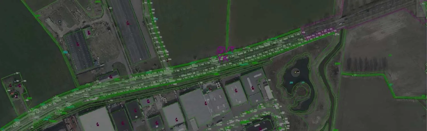

Data digitization is a successful method for storing data in a GIS project. The coordinates are often captured as points, lines, or polygons. It takes a long time and is expensive to digitize hard copies or scanned copies, and satellite or aerial base maps into vector data.
Polosoft Technologies plays a crucial role in the management of services that use digitally accurate features or maps. We have expert digitizers and staff who are adept at deciphering maps and precisely digitizing features with minimal effort.
Maps, drawings, schematics, and circuit diagrams are typically converted into digital representations via digitization services. Additionally, zonal maps, contour maps, cadastral maps, topographical maps, and utility maps also require GIS digitization services.
A distinct collection of points called digitizing is used to represent an analogue signal or an image. In contrast to the discrete digital format, analogue signals are changeable. GIS data digitization comes in four different types.

The operator makes an identical digital map on the computer by manually tracing every line on his hardcopy map. It takes a lot of time, and the precision is also subpar.

To use the technique, a computer must be used to scan a map or image. By employing high-precision digitizing software, the accuracy of the points, lines, and polygons increases.

Under the operator's instruction, tracing one line at a time becomes faster and more accurate. A more advanced variant of heads-up digitizing is this technique.

Automatic raster to vector conversion using pattern recognition and image processing methods. It recognizes and digitizes the features using algorithms.
The geographic precision of the characteristics is wholly dependent on the GIS database in the world of digitalization. Additionally, the quality of the digitization process ultimately determines the accuracy of the digital maps. Geodetic, machine, cartographic, manuscript, positional, and attribute mistakes are among the inaccuracies found on digital maps.

This is because the projection system was chosen in an unexpected way, which causes inaccuracy, and because poor projection causes incorrect positioning of elements on the map. As a result, the features of the digital maps do not properly overlap.

The digitizing tablet or the software used to digitize the pieces are to blame. It is an ingrained mistake that cannot be eliminated but can only be reduced. When converting maps from analog to digital versions, it can occasionally happen.

It develops as a result of errors that are already present in the source map and can transfer to the digital map. One of the causes of these inaccuracies is incorrect readings or writing of the map's parts.

This occurs when an element is improperly captured, and it can be fully fixed. Dangling Nodes, Switchbacks, knots, loops, Overshoots, Undershoots, Silvers, and Overlaps are some of the classifications for Positional Error.

It occurs in polygon & polyline method. With the digitized polyline, which hasn’t met, or there is any gap between the nodes where as in a digitized polygon, it happens when a polygon doesn’t connect back to it.

A bend causes switchbacks to appear in the line, and knots and loops cause the line to fold back on itself to form a polygon. It happens because of an untrained digitizer that moves the cursor incorrectly.
To increase high levels of productivity, Polosoft Technologies provides Point Cloud Classification services for various industries.


What is map data digitization?
Map data digitizing in GIS is conversion of geographical data either from hardcopy or scanned images into the vector form by tracing the features. During the process of digitizing, all features from the traced map or images are captured as coordinates in either point, line, or a polygon format.
What digitization of a map?
This is defined as the process of converting the geographic features on an analog map/ or a paper map into digital format using a digitizing tablet, or digitizer, which is connected to a computer.
What are the types of digitization?
What are the domains of map digitization?
Process Transformation. Model Transformation. Domain Transformation. Cultural/Organisational Transformation.
Why do companies need map data digitization services?
The main purpose of digitalisation which makes it important is it enables automation, increases data quality, and collection and structuring of all that data. In order to use advanced technology, such as better and smarter software.


Modern data digitization technologies from Polosoft Technologies enable businesses to see and fully utilize their geographical data. Through cutting-edge methods like spatial data visualization and vectorization, Polosoft gives companies the ability to turn complicated geographic data into understandable and useful insights.
At Polosoft, we outsource GIS projects and extend them to graphical projection, satellite imaging, network mapping from base camp, geo-coding, and 2D-3D CAD drafting.


Whether you need to streamline a process or develop apps fast, we're here to help.
Contact Us

 AI &
Automation
AI &
Automation
 QA & Software Testing
 Cybersecurity
 Cloud Services
 MVP Development
 Custom
Applications
Custom
Applications 


 Engineering Services

 Digital Branding
 Industries


 Home
Home